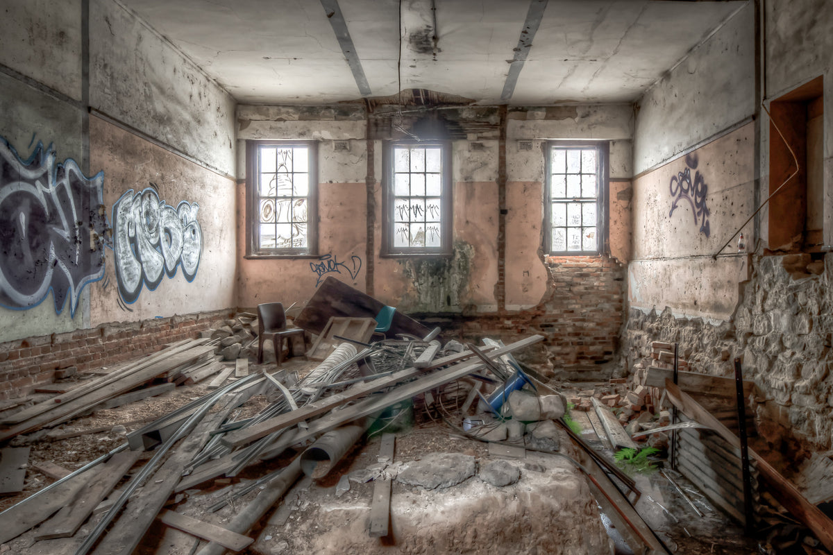
Ground Level

Provenance

Camera
NIKON D7000
Lens
24.0-70.0 mm f/2.8
Settings
24mm · f/8.0 · 25s · ISO 100
Paper
Ilford Galerie Smooth Cotton Rag 310 gsm

The wide, flat quarry floor stretches to the base of sheer rock walls. Concrete foundations sit in the open, their bolt patterns and footings intact. The surrounding walls rise steeply, showing distinct colour and texture variations in the exposed rock face. No machinery remains at ground level. The sky is visible above the rim.

Edition
Open edition

Open edition
Printed to order, no fixed quantity. Each print is hand-signed by the photographer.

Limited edition
A fixed number of prints exist. Once sold, the edition closes permanently. Each print is individually numbered and signed.

$100.00 AUD
Size
Type
Colour
Signed, numbered, with COA. Made to order in 5 to 10 business days (unframed). Shipped in protective packaging with edition certificate, paper-stock reference and a printed care guide.
See certificate sample →

Shipping Free shipping over $250. Ships worldwide, rates calculated at checkout.

Returns Damaged in transit? We replace it. Full policy →

Ships within 10 business days · signed & numbered

In situ
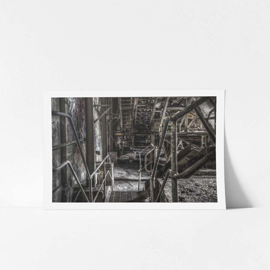
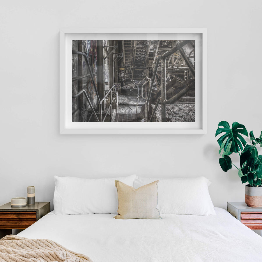
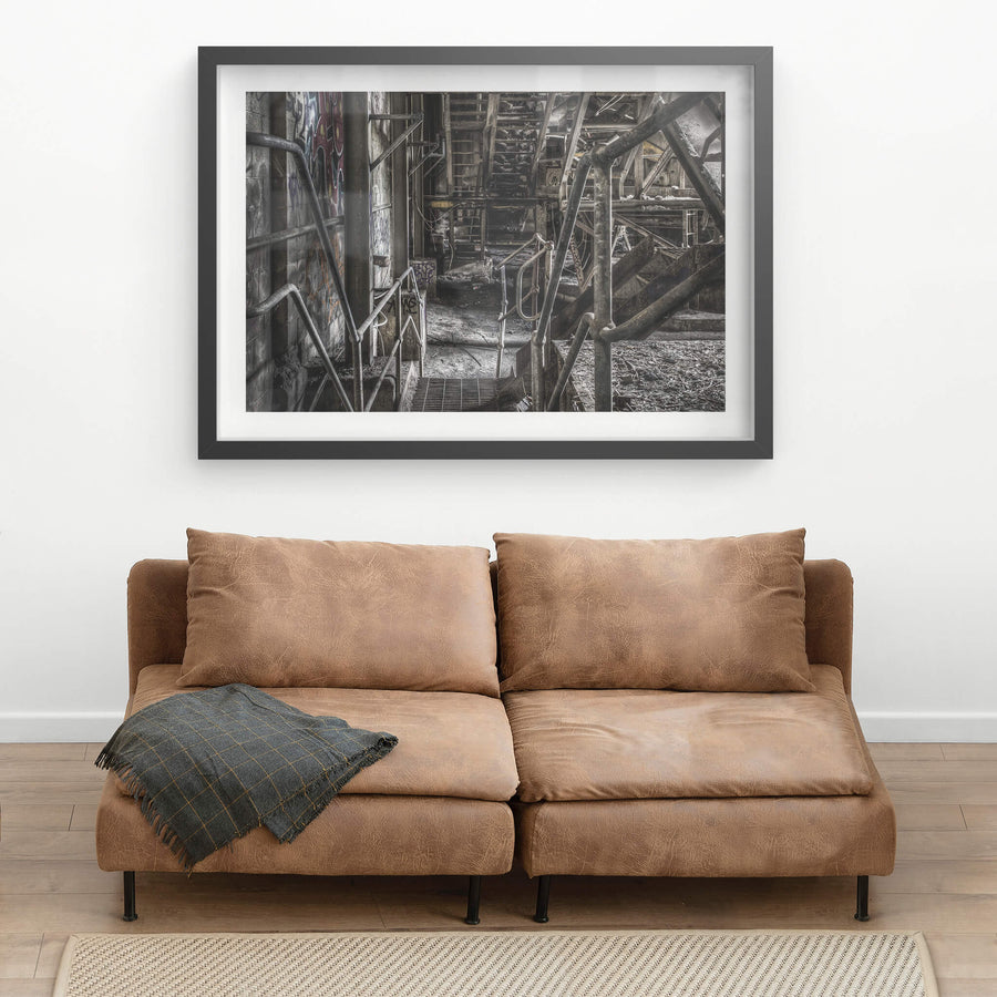
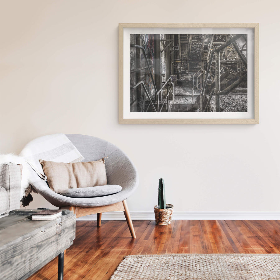
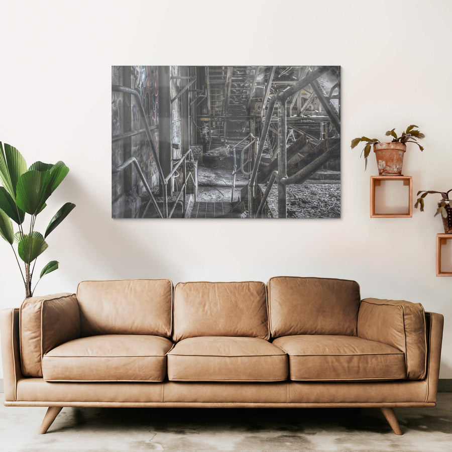
Ground Level at Hornsby Quarry, unframed print displayed in situ on a wall.Ground Level at Hornsby Quarry, white-framed print displayed in situ on a wall.Ground Level at Hornsby Quarry, black-framed print displayed in situ on a wall.Ground Level at Hornsby Quarry, raw timber-framed print displayed in situ on a wall.Ground Level at Hornsby Quarry, glass print displayed in situ on a wall.
01 PROVENANCE

Print datasheet

Title
Ground Level
Series
Graffiti & Urban Decay
Catalogue
GUD-006
Process
Giclée
Captured
7 November 2015
Camera
NIKON D7000
Lens
24.0-70.0 mm f/2.8
Aperture
f/8.0
Shutter
25s s
ISO
100
Focal length
24 mm
Paper
Ilford Galerie Smooth Cotton Rag 310 gsm
Paper size
290 × 200 mm
Location
Hornsby, New South Wales, Australia
Recognised by
Highly Commended in Multimedia at the 2016 National Trust of Australia (NSW) Heritage Awards
02 LOCATION

Hornsby, New South Wales, Australia

Map · Mapbox · OpenStreetMap

03 THE STORY

About this print

The quarry floor at Hornsby Quarry sits roughly 120 metres below the southern rock face, a flat expanse of exposed ground ringed by near-vertical walls of dolerite and volcanic breccia. Concrete foundations remain where processing equipment once stood, their bolt patterns and pad footings still legible against the open floor. Nothing else is left at ground level. The walls do the talking. What those walls expose is a cross-section through a Jurassic diatreme, a volcanic neck between 146 and 200 million years old, the largest of its kind remaining in the Sydney area. Quarrying here began around 1905, when the Higgins family started extracting dolerite from the site they had farmed since the 1830s. Hornsby Shire Council recognised the strategic value of the material early and purchased the operation in 1912 to secure a reliable supply of blue metal for road construction across the northern suburbs. Ownership passed to Hornsby Blue Metal Limited in 1924, then to a Farley and Lewers subsidiary in 1959, then to CSR Construction Materials following CSR Limited's acquisition of Farley and Lewers in 1980. At its projected rate of around 110,000 tonnes per year, the quarry was expected to keep producing well into the 2020s. Instead, extraction ceased in 2002, and Hornsby Shire Council acquired the site in 2003 for $26,508,771.28, the amount determined by the NSW Land and Environment Court. This photograph was made in 2015, more than a decade after the last load of blue metal left the site. The foundations sit in the open. The walls that were blasted back and back again across the twentieth century now stand static, their layering intact. A 2022 geoheritage assessment by geologist Ian Percival classified the exposed face as an internationally significant reference site. The ground beneath it built the roads above it. Part of the Hornsby Quarry series.

04 FROM THE FIELD NOTES

At ground level, Hornsby Quarry is all scale and silence. Concrete foundations mark where processing plant once stood, extracting crushed dolerite from a Jurassic volcanic neck that geologists now rank as internationally significant. The quarry operated from around 1905 until 2002, moving through a succession of operators including Farley and Lewers and CSR Construction Materials. The rock walls that surround the floor rise nearly 120 metres at the southern face, exposing a cross-section through geology that predates the Sydney Basin by tens of millions of years.

Brett Patman

Graffiti & Urban Decay

The series

Graffiti & Urban Decay

54 photographs

Buildings don't stay empty. Once the owners leave, somebody else arrives. Walls that were blank become a record of who came through and when. Graffiti isn't vandalism on these surfaces , it's the only remaining evidence that anyone cared enough to be here.Urban spaces mid-collapse. The gap between what a building was built for and what it became.

View all in this series →

05 SIZE GUIDE

Print sizes

The anatomy view shows what this finish is as a physical object: paper margin, mat band, frame depth, acrylic profile. The comparison strip shows how each size sits relative to the others at true scale. Click a size or a finish to update both.

Anatomy · true ratio
TypeSizeWidthHeight
08 BY POST · NO SPAM

Read the full story

Articles when they're published. The history behind a place. The day of a shoot. The work between prints. No marketing, no schedule.

You're subscribed.