Dalgety Down The Range

Provenance

Camera
NIKON Z 7
Lens
180.0-400.0 mm f/4.0
Settings
400mm · f/4.0 · 1/1000 · ISO 100
Paper
Ilford Galerie Smooth Cotton Rag 310 gsm

An unsealed road descends through dry high-country terrain toward a distant valley settlement. The surrounding landscape is open and largely treeless, with low blue ranges visible on the horizon. The road curves gently as it drops, dust-coloured against the pale grass of the range.

Edition
Open edition

Open edition
Printed to order, no fixed quantity. Each print is hand-signed by the photographer.

Limited edition
A fixed number of prints exist. Once sold, the edition closes permanently. Each print is individually numbered and signed.

$100.00 AUD
Size
Type
Colour
Signed, numbered, with COA. Made to order in 5 to 10 business days (unframed). Shipped in protective packaging with edition certificate, paper-stock reference and a printed care guide.
See certificate sample →

Shipping Free shipping over $250. Ships worldwide, rates calculated at checkout.

Returns Damaged in transit? We replace it. Full policy →

Ships within 10 business days · signed & numbered

In situ
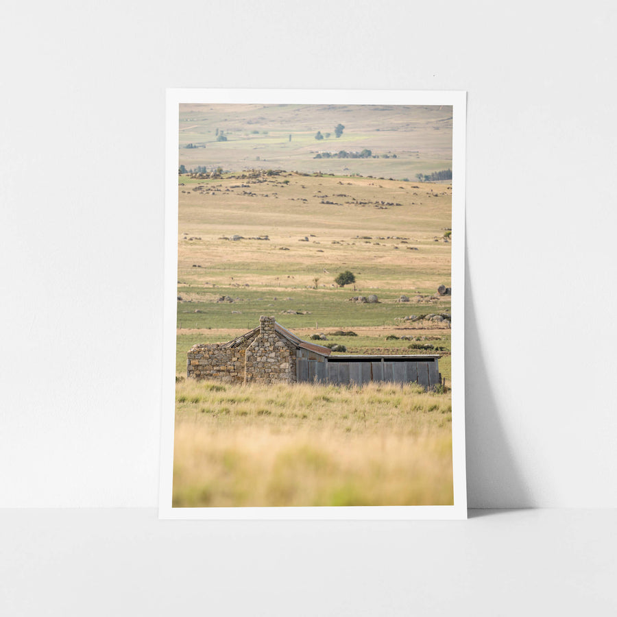
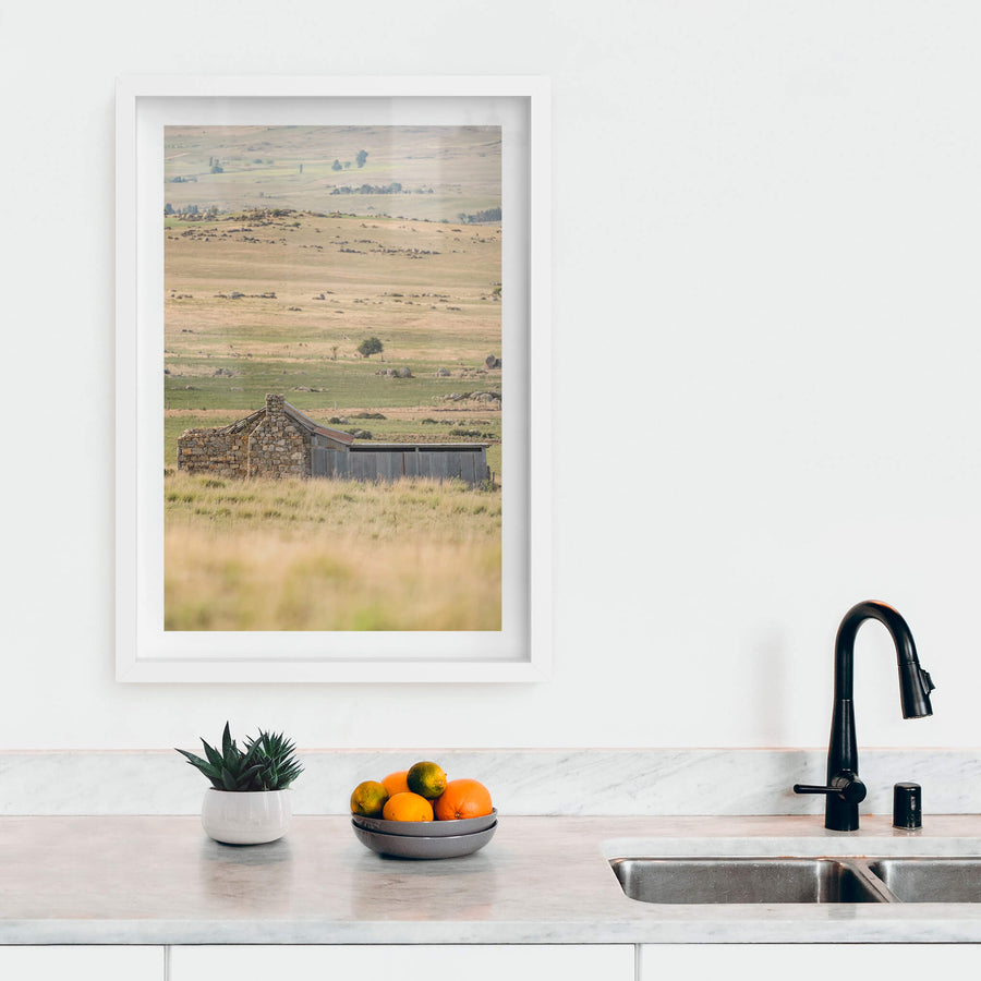
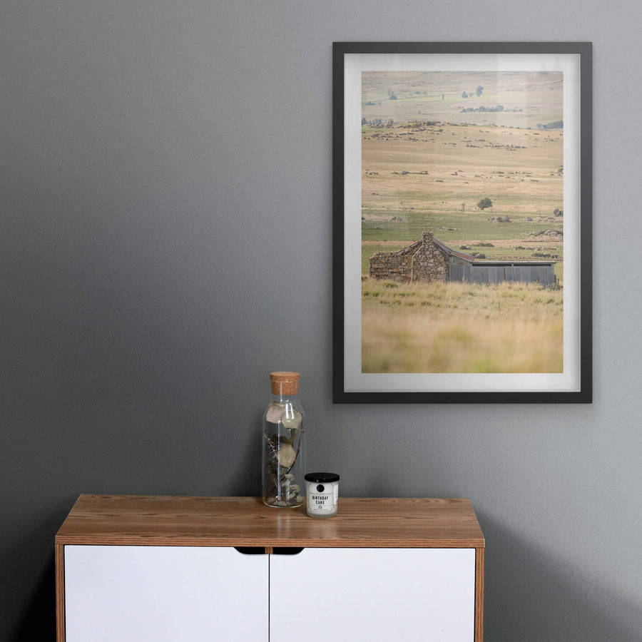
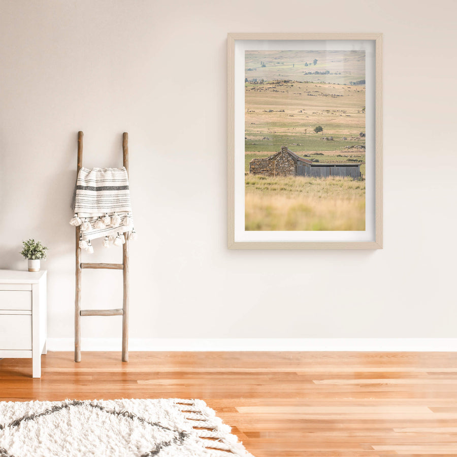
Dalgety Down The Range at A Place to Call Home, unframed print displayed in situ on a wall.Dalgety Down The Range at A Place to Call Home, white-framed print displayed in situ on a wall.Dalgety Down The Range at A Place to Call Home, black-framed print displayed in situ on a wall.Dalgety Down The Range at A Place to Call Home, raw timber-framed print displayed in situ on a wall.Dalgety Down The Range at A Place to Call Home, glass print displayed in situ on a wall.
01 PROVENANCE

Print datasheet

Title
Dalgety Down The Range
Series
A Place to Call Home
Catalogue
PCH-031
Process
Giclée
Captured
27 December 2018
Camera
NIKON Z 7
Lens
180.0-400.0 mm f/4.0
Aperture
f/4.0
Shutter
1/1000 s
ISO
100
Focal length
400 mm
Paper
Ilford Galerie Smooth Cotton Rag 310 gsm
Paper size
290 × 200 mm
Location
Rural New South Wales and ACT, Australia
Recognised by
Highly Commended in Multimedia at the 2016 National Trust of Australia (NSW) Heritage Awards
03 THE STORY

About this print

The road unspools down the range in a single unhurried line, pale dust against dry grass, the valley floor somewhere below and the blue ranges holding the far edge of the frame. There is no traffic on it. There is no fence along it. It is simply a road through the high country, the kind of road that exists because someone needed to get from one place to another and eventually enough people made the same trip that the ground wore bare. That settlement below is Dalgety. It was surveyed and officially named in 1874 by surveyor J. R. Campbell. A Catholic school opened the same year. Two years later, in 1876, David Scarlett built the Police Station and Court House, the first public building in the town. The bridge across the Snowy River opened on 30 September 1889, a metal lattice structure designed by J. A. McDonald. By 1902 the town was being seriously evaluated as a potential site for Australia's national capital. The decision ultimately went elsewhere, to the Canberra district in 1908, and Dalgety remained what it had always been: a small pastoral town at the edge of the Monaro tableland, the Snowy River running past it. European settlement in this part of the world began in 1832, when Edward Buckley established a farm at what would become Buckley's Crossing, later Dalgety. The broader Monaro had been Ngarigo country for at least 21,000 years before that, an estimated 16,000 km² of tableland extending from Queanbeyan in the north to Delegate in the south. The squatters came first, then the selectors after the Robertson Land Acts of 1861, then the wool boom, then the droughts and the rabbit plague of the 1890s, then the slow attrition that continued through the twentieth century. Photographed in 2018 as part of the A Place to Call Home series, this image does not document a building. It documents the country between buildings, the road that connected the pastoral runs and the settlements and the shearing sheds that the series records elsewhere. The Monaro tableland is large enough that the distance between places is part of the story.

04 FROM THE FIELD NOTES

The road drops off the range toward Dalgety in a long, unhurried curve, the Snowy River country opening out below. Dalgety was surveyed in 1874 and once seriously considered as the site for Australia's national capital before the decision turned toward Canberra. It sits in the Snowy Monaro, where European settlers arrived from 1832 onward and where the distances between places have always been part of what defines them. Photographed in 2018 as part of the A Place to Call Home series, this is the country you had to cross to get anywhere.

Brett Patman
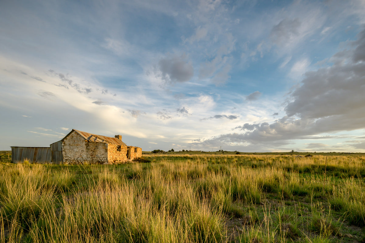
A Place to Call Home

The series

A Place to Call Home

2015–2020 · 60 photographs

A series of rural homesteads from the Snowy Monaro region of southern New South Wales, with a few from the Hunter Valley. Most were family homes left behind when a generation moved to town; others when the land could no longer be worked. The buildings are smaller than the industrial sites that anchor most of Lost Collective and tend to be older. Most are timber-framed.

View all in this series →

05 SIZE GUIDE

Print sizes

The anatomy view shows what this finish is as a physical object: paper margin, mat band, frame depth, acrylic profile. The comparison strip shows how each size sits relative to the others at true scale. Click a size or a finish to update both.

Anatomy · true ratio
TypeSizeWidthHeight
08 BY POST · NO SPAM

Read the full story

Articles when they're published. The history behind a place. The day of a shoot. The work between prints. No marketing, no schedule.

You're subscribed.