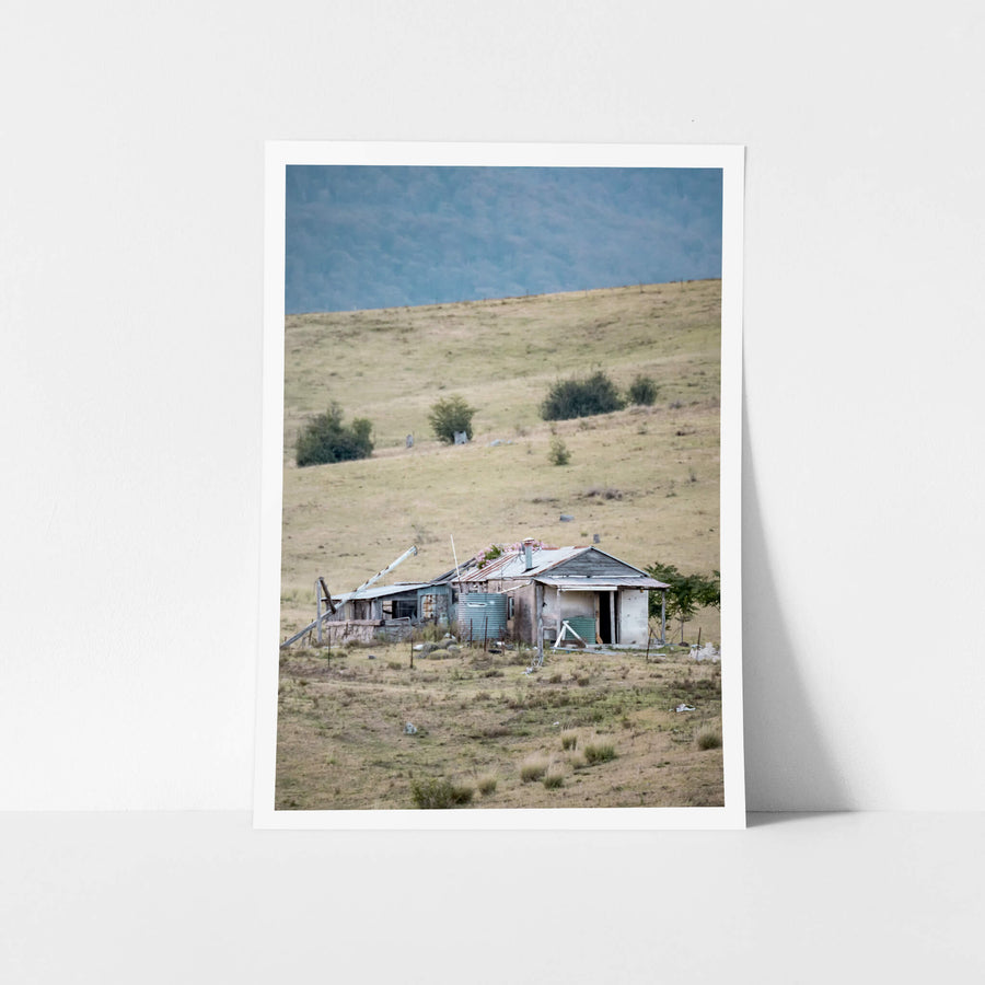
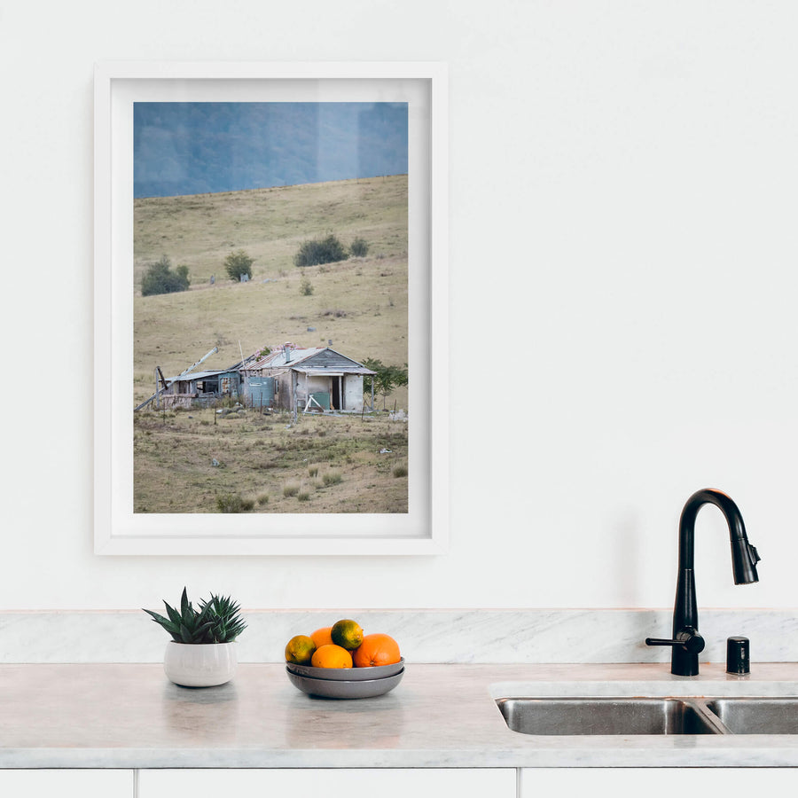
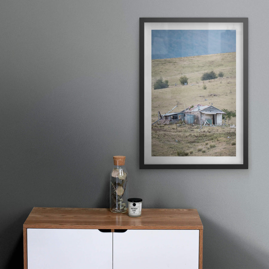
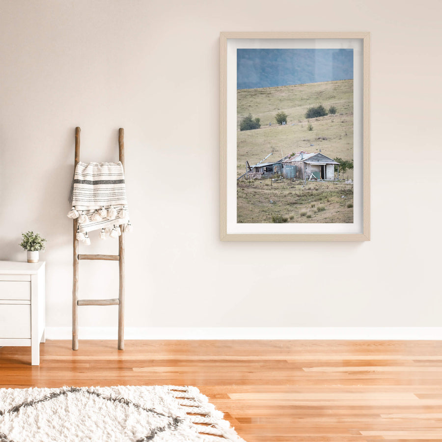
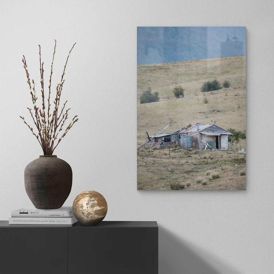
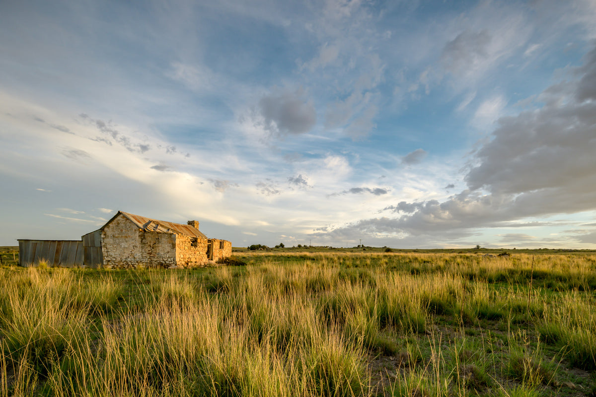
A timber and wire fence line in a state of decline, posts leaning and weathered grey. Dry earth at the base, sparse low vegetation beyond. A wide sky dominates the upper frame. Open steppe country stretches away behind, characteristic of the Monaro tableland.
Edition
Open edition
Open edition Printed to order, no fixed quantity. Each print is hand-signed by the photographer.
Limited edition A fixed number of prints exist. Once sold, the edition closes permanently. Each print is individually numbered and signed.
$100.00 AUD
Size
Type
Colour
✓
Signed, numbered, with COA. Made to order in 5 to 10 business days (unframed). Shipped in protective packaging with edition certificate, paper-stock reference and a printed care guide.
A fence line along Mogilla Road is not much to look at. Posts tilting at irregular angles, wire slack between them, dry earth at the base, and beyond it a scatter of low, resilient vegetation under a sky that takes up most of the frame. No building, no machinery, no sign of whoever worked this ground. Just the boundary itself, still standing. That a fence survives when everything else is gone is not unusual in the rural landscape of southern New South Wales. Properties here passed through several distinct phases of collapse. The Robertson Land Acts of 1861 opened the region to free selection, allowing settlers to take up blocks of Crown land at a fixed rate, with residence required. In practice, only around one-third of the 62,000 selections taken up across New South Wales between 1861 and 1884 were by genuine farmers working the land themselves. The rest were dummies, speculators, or squatters buying back runs they already grazed. Either way, the buildings that went up on these selections were modest and built fast, typically slab timber on a simple floor plan, erected by the occupants in a matter of weeks. What followed was harder. The 1890s brought drought, a rabbit plague, and a collapse in wool prices that halved sheep numbers across New South Wales. The Snowy Mountains Hydro-electric Scheme, constructed between 1949 and 1974, inundated thousands of hectares of farmland in the region and displaced pastoral communities around Jindabyne. The 1991 collapse of the Wool Reserve Price Scheme, with prices crashing to around $3 per kilogram, was the final blow for many marginal properties. What the photograph records is the residue of that long process. The fence at Mogilla Road is the last visible evidence of a property boundary. The 2016 A Place to Call Home series documents structures and remnants across the Snowy Monaro region and Hunter Valley that sit outside formal heritage protection, held by neither the alpine huts programme nor the town-centre LEP listings. They survive, or they do not, largely unobserved.
04·FROM THE FIELD NOTES
A timber and wire fence line in a state of decline, posts leaning and weathered grey. Dry earth at the base, sparse low vegetation beyond.
Brett Patman
The series
A Place to Call Home
2015–2020 · 60
photographs
A series of rural homesteads from the Snowy Monaro region of southern New South Wales, with a few from the Hunter Valley. Most were family homes left behind when a generation moved to town; others when the land could no longer be worked. The buildings are smaller than the industrial sites that anchor most of Lost Collective and tend to be older. Most are timber-framed.
The anatomy view shows what this finish is as a physical object: paper margin, mat band, frame depth, acrylic profile. The comparison strip shows how each size sits relative to the others at true scale. Click a size or a finish to update both.