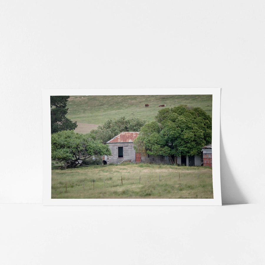
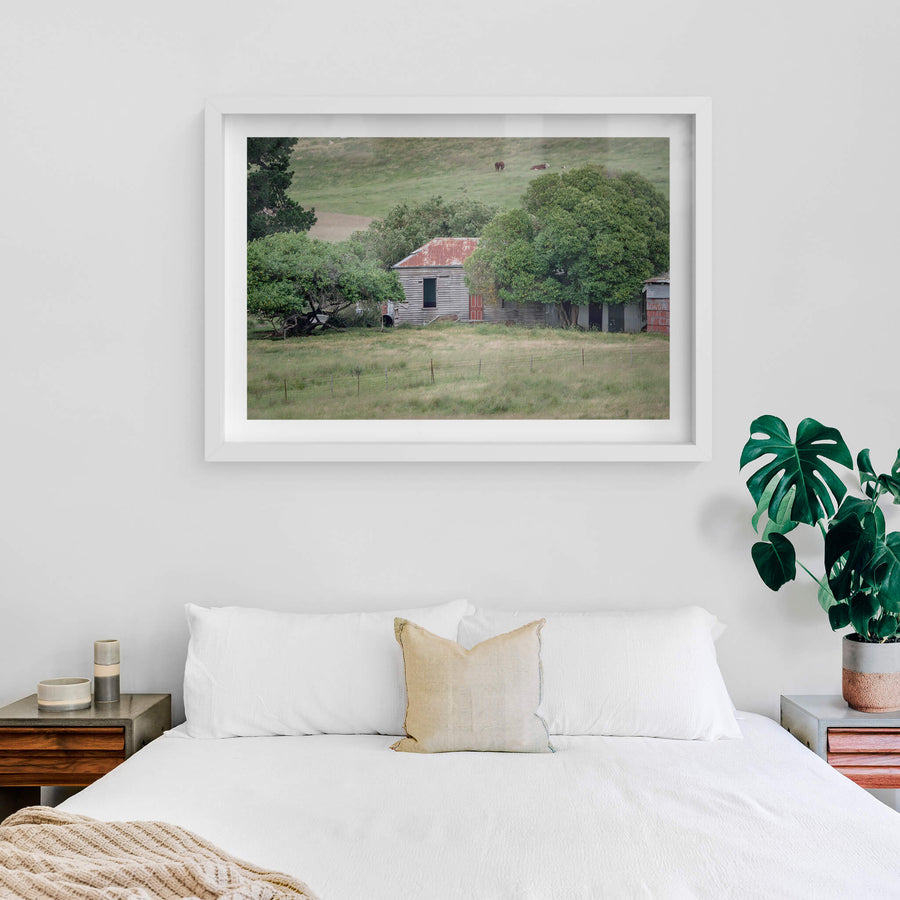
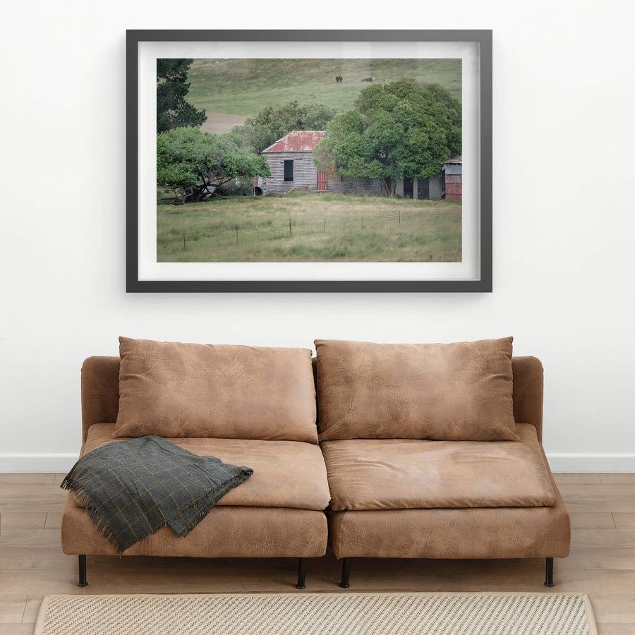
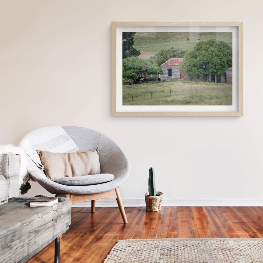
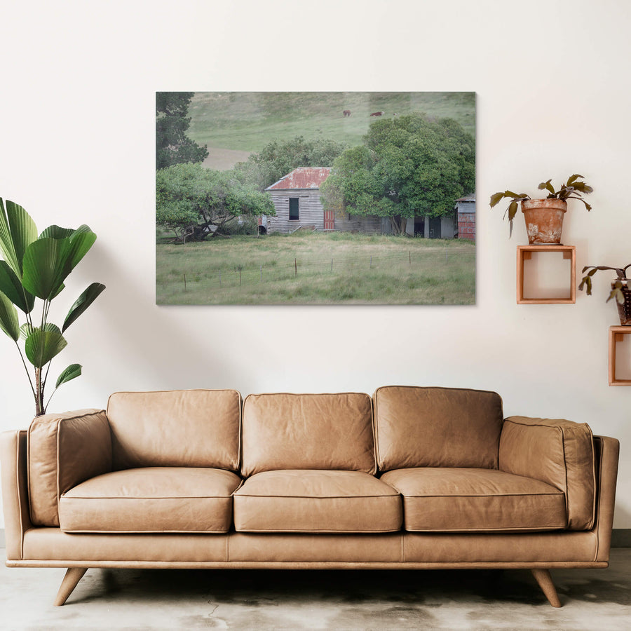
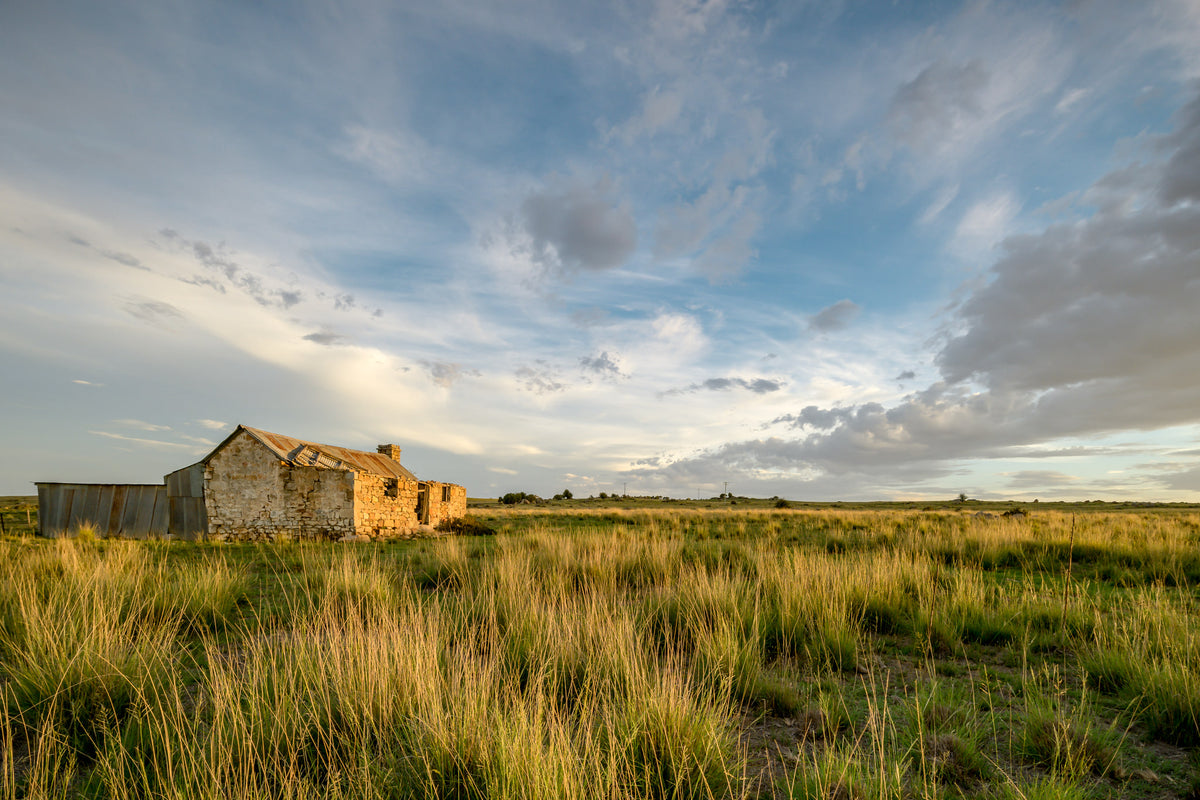
A weatherboard cottage and corrugated iron outbuildings stand in open grassland on the Snowy Monaro tableland in southern New South Wales. Rust tracks down the roofline and paint lifts from the timber walls in long curling strips. The surrounding paddock has grown back without check.
Edition
Open edition
Open edition Printed to order, no fixed quantity. Each print is hand-signed by the photographer.
Limited edition A fixed number of prints exist. Once sold, the edition closes permanently. Each print is individually numbered and signed.
$100.00 AUD
Size
Type
Colour
✓
Signed, numbered, with COA. Made to order in 5 to 10 business days (unframed). Shipped in protective packaging with edition certificate, paper-stock reference and a printed care guide.
The walls are weatherboard, split and weathered, standing at irregular angles as the structure yields to its own weight. They are pulling apart now, each piece following its own slow trajectory as the framing beneath them fails. The roof has partially collapsed, exposing the remaining rafters to whatever comes: rain, frost, summer heat. This is what a vernacular colonial dwelling looks like when no one is left to patch it. Structures of this type were the physical residue of the Robertson Land Acts of 1861, which allowed free selection of up to 320 acres of Crown land at £1 per acre. In practice, only about one-third of the 62,000 selections taken up across New South Wales between 1861 and 1884 were genuine family operations. The rest were dummies, speculators, or squatters consolidating their own runs. The families who did stay built what they could afford: slab walls split tangentially along the grain from blackbutt, stringybark, or ironbark; roofs that moved from bark sheets to wooden shingles to galvanised iron as money allowed; floors of bare earth or crushed termite mound, later replaced with sawn timber boards. Three waves of decline emptied these places out. The Federation drought and rabbit plague of the 1890s halved sheep numbers across New South Wales. The Snowy Mountains Hydro-electric Scheme, constructed between 1949 and 1974, inundated thousands of hectares of Monaro farmland and displaced pastoral communities at Jindabyne and Adaminaby. Then, in 1991, the collapse of the Wool Reserve Price Scheme pushed prices to approximately $3 per kilogram, a final blow to marginal pastoral properties that had been carrying debt for decades. This photograph, made in 2018, records what remains. The timber is still standing, just. The roof is open. The dry grass has moved in around the base of the walls. It is one of 59 structures Brett Patman documented across the Snowy Monaro and Hunter Valley between 2016 and 2019, each one sitting outside formal heritage protection, each following the same slow arc toward the ground.
04·FROM THE FIELD NOTES
Weatherboard walls, split and weathered, stand at irregular angles as the structure yields to its own weight.
Brett Patman
The series
A Place to Call Home
2015–2020 · 60
photographs
A series of rural homesteads from the Snowy Monaro region of southern New South Wales, with a few from the Hunter Valley. Most were family homes left behind when a generation moved to town; others when the land could no longer be worked. The buildings are smaller than the industrial sites that anchor most of Lost Collective and tend to be older. Most are timber-framed.
The anatomy view shows what this finish is as a physical object: paper margin, mat band, frame depth, acrylic profile. The comparison strip shows how each size sits relative to the others at true scale. Click a size or a finish to update both.